


Thirty kilometres, 680 metres of climbing, and a pub that only takes cash. That's the short version.
I've done this circuit a couple of times now and it's one I keep coming back to. It takes in Corfe Castle, the Purbeck ridge, the coast path south of Swanage, Worth Matravers, and the long inland return. The terrain is varied enough that it never gets boring, and hard enough that you feel it the next day.
This Purbeck ground is also where I do a fair bit of my training for the Jurassic Coast Ultra Challenge. The ridge out of Corfe and the coast path south of Swanage both sit on the event route, so if you are thinking of entering, the Jurassic Coast Ultra Challenge participant guide is the place to start.
I logged this one on Saturday 18 April 2026 — set off at 08:43, back before dark. The GPS track is on my AllTrails profile if you want the exact route.
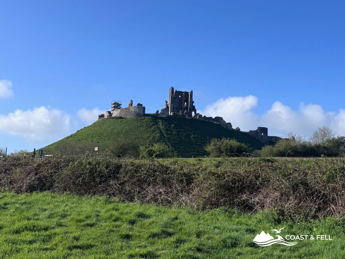
Corfe Castle from the village — the route climbs past the ruins before heading east along the Purbeck ridge
Starting from Corfe Castle
Park at the East Street car park in the village (BH20 5EZ). In April on a Saturday morning I had no trouble, but I wouldn't chance arriving after 10 in July.
If you haven't been to Corfe Castle before, it's worth knowing it's English Heritage — so membership gets you in for free. It's a Norman keep on a chalk mound right in the gap of the Purbeck Hills ridge. You don't need to stop, you'll see it constantly from the ridge throughout the walk anyway.
The route heads east out of the village along the valley, then climbs onto the Purbeck Hills. It's a gradual start. The gorse was out in April and smelled like coconut, which is either pleasant or overpowering depending on your mood. Once you're on the ridge the views sort themselves out quickly.
The Purbeck ridge to Swanage
Short grass, chalk and flint underfoot, views in both directions. North toward Poole Harbour and the heathland. South toward the coast. On a clear day you can see Old Harry Rocks to the east — the chalk stacks at the eastern tip of the Jurassic Coast.
It's good walking up here. The footing is firm in dry conditions and the Salomon Speedcross 6 was at home on it — light enough that the flat sections don't wear you down, grippy enough on the chalk. After rain the chalk goes greasy and a heavier boot earns its keep, but in April it was fine.
The ridge drops you into Swanage from the west. The town is roughly a third of the way round. Good place to grab a coffee and something to eat before the coast path section, which is where the real climbing starts.
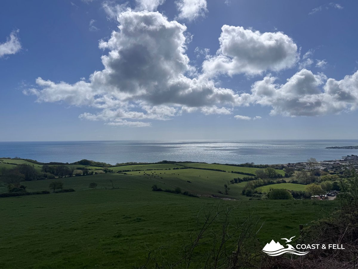
Looking east along the Purbeck ridge — Swanage visible below, Old Harry Rocks in the far distance
South West Coast Path: Swanage to Worth Matravers
This is where the elevation comes from. The coast path south of Swanage is a series of headlands — down into each cove, back up the other side. You do this repeatedly. It adds up.
This is the same South West Coast Path that runs west past Lulworth toward the arch on my Durdle Door circular walk; keep following it far enough west and you hit Swyre Head, Bat's Head and Durdle Door itself. Purbeck and the Lulworth coast are two ends of the same trail.
Past Peveril Point and around Durlston Head, the path gets rockier and more exposed. There's a viewpoint diversion at Durlston Country Park that's worth it if visibility is good, but I had miles to cover so I kept moving.
The limestone underfoot grips well when dry. On wet days it does the opposite. Anything with a shallow sole will feel it on the steeper descents.
Stop at Dancing Ledge. It's a flat shelf of limestone above the sea with a small rock pool in it — the pool was blasted out by quarrymen at some point, and it still fills with seawater. People swim there in summer. In April I had it to myself.
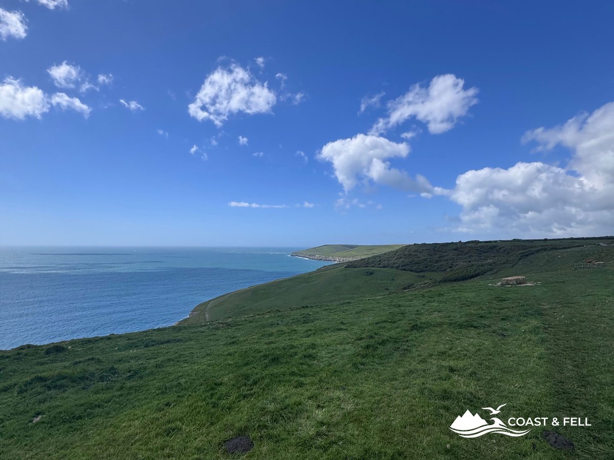
The coast path between Durlston and Dancing Ledge — limestone cliffs, spring sea, no one around
After Dancing Ledge it's on to Winspit — old quarry caves cut into the cliff face, a bit eerie, worth a look — and then the path climbs back up to clifftop level for the run into Worth Matravers.
Worth Matravers — stop here
Small stone village, duck pond, Norman church. Looks like it hasn't changed much in a hundred years. The Square and Compass has been pulling pints here since 1776 and gets most of the visitor attention — cash only, no TV, pasties and pies through a hatch. It's a fine pub if that's what you're after.
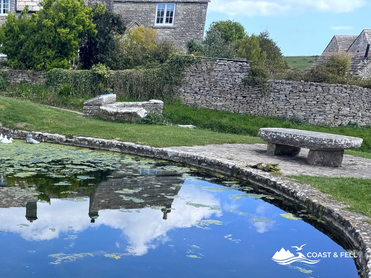
The duck pond at Worth Matravers — quiet on a Saturday morning
I was after coffee and something sweet. The Worth Matravers Tea and Coffee Shop sits opposite the duck pond in a small stone cottage with bunting across the front and chalkboards outside listing whatever they've got that day. Local produce, homemade cake, proper coffee. I had a flat white and a slab of rocky road sitting on the wall by the duck pond with my pack at my feet, and it was exactly what I wanted at roughly the halfway point of a 30km walk. A pie and a pint at kilometre 15 would have finished me.
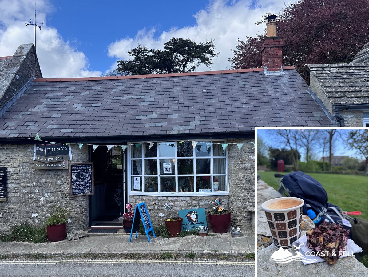
The Worth Matravers Tea and Coffee Shop — local produce, proper coffee, and a rocky road at the wall overlooking the duck pond
Take cash for the pub if that's your preference. The tea room takes card.
If you're into odd historical details: the churchyard contains the grave of Benjamin Jesty, a local farmer who vaccinated his family against smallpox in 1774 — about 20 years before Jenner did the same thing and got all the credit. Three-minute detour if that sort of thing interests you.
From here you're roughly halfway by distance, and the hardest climbing is behind you.
The return along the ridge
Longer than it looks on the map. The path heads north across farmland before picking up the Purbeck ridge from the south side — a more circuitous route than the direct line, but it keeps you off the road and the views are worth it.
The ridge looking back toward the coast you've just walked is a good moment. Portland is visible to the west on a clear day. The terrain is easier than the coast path — open downland, well-marked, nothing technical. By this point you're tired enough that easy is exactly what you want.
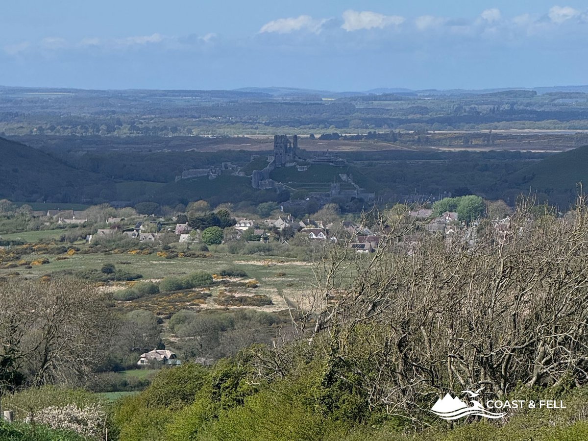
The Purbeck ridge on the return — coast behind you, Corfe Castle visible ahead
Corfe Castle appears in the distance as you come off the ridge and doesn't let go until you're back in the car park. The legs will know about it. 30km is 30km.
What I wore on the day
Clear skies, dry underfoot, no wind. I wore the Salomon Speedcross 6 — technically a trail running shoe, not a hiking boot, but on a dry day on this kind of ground they're the right call. Light enough for the ridge sections, grippy enough for the limestone on the coast path. At 30km I was glad not to be carrying anything heavier on my feet.
Darn Tough Light Hiker Micro Crew socks as usual. No blisters. The streak continues.
I left the waterproof in the car. The forecast was clear and it stayed clear, but Dorset has a short memory and I wouldn't do that without checking first. If you're planning this in uncertain weather, the waterproof jacket guide is worth a look before you decide what to pack.
What you need to know
Parking: East Street car park, Corfe Castle (BH20 5EZ). Alternatively, the National Trust car park at the castle itself. Both fill up by mid-morning on summer weekends — get there early.
Distance and elevation: ~30km, ~680m of elevation gain. This is not a beginner route. Allow a full day, or significantly more time than you think you need.
Cash: The Square and Compass at Worth Matravers is cash only. There is an ATM in Corfe Castle village. Do not arrive at Worth Matravers without cash unless you enjoy watching other people eat pasties.
Dogs: The route is generally dog-friendly but sections near the cliff edge require care, and there is livestock on the ridge sections. Keep dogs on leads through farmland.
GPX and AllTrails: The full GPS track for this route is available on my AllTrails profile. I log every walk there — follow me to get route updates as I add more Jurassic Coast and Purbeck circuits over the coming months.
Start time: A sunrise start in summer gives you the ridge to yourself and avoids the worst of the Swanage tourist traffic. In April, 08:30–09:00 is sensible.
More to do on this coast
Swanage and the Purbeck coast are not just for walking. The same limestone sea cliffs you pass on this route are among the best guided-adventure venues in the country. Try coasteering around Dancing Ledge, a guided rock climb or sea-cliff abseil, or a guided wild swim in a sheltered cove, all with a qualified local instructor.
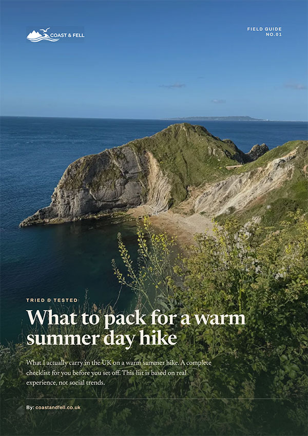
Free printable guide
What to pack for a warm summer day hike
My full warm-weather day-walk kit list as a printable PDF: what I carry, what I leave at home, and how to pack it. The honest article distilled onto a page you can take with you.