


I live on the Jurassic Coast. My regular walks involve chalk cliffs, limestone arches and the English Channel in three shades of blue. Forest walking is not something I do enough of.
This was a last-minute decision: a midweek day off, no real plan, just a drive north from Bournemouth into the New Forest and a car park I'd looked up the night before. No agenda beyond covering some miles, seeing the giant sequoia trees I'd been meaning to visit for two years, and making a coffee somewhere good.
It turned into one of the best walking days I've had this year. A completely different world from the coast: quieter, greener, older in a different way. The New Forest is not dramatic in the way the Jurassic Coast is dramatic, but it has a quality of stillness that the coast rarely does. You walk under a canopy rather than across a clifftop. The scale is vertical rather than horizontal.
I did the standard 15km circular from Brockenhurst, added a detour to the Blackwater Arboretum, and then, because I'm training for the Jurassic Coast Ultra Challenge, did the whole thing again. 32km total. Here is the guide.
Why the New Forest when you live on the Jurassic Coast
The honest answer is training variety. Walking the same coastal routes repeatedly is excellent preparation for a coastal ultra, but the New Forest offers something different: softer underfoot, more forgiving on joints, and genuinely restorative in a way that exposed clifftop walking isn't always.
The other answer is that the New Forest is extraordinary in its own right and I'd been putting off visiting the Tall Trees section for too long. Giant sequoia trees in Hampshire. Planted in the 1850s. Growing to over 40 metres. It sounds implausible until you're standing underneath one.
The contrast with the Jurassic Coast is total. Where the coast is all exposure and geology and drama, the New Forest is canopy and silence and something close to wilderness that sits improbably close to Bournemouth and Southampton. Both are worth your time. They just require completely different things from you.
Getting there and parking
By car: Brockenhurst is straightforward to reach from Bournemouth. Take the A338 north then the A31 and A337 into the village. From Southampton, the A35 and A337. The drive from central Bournemouth is around 30 minutes.
I parked at Brookley Road Car Park in the centre of Brockenhurst, approximately £7 for 8 hours, which is excellent value for a full day out. The car park is right in the village, a two-minute walk from the start of the route. There is a Tesco Extra directly opposite the car park, which is genuinely useful. I picked up lunch, snacks and drinks before starting rather than carrying everything from home.
By train: Brockenhurst has a mainline station with direct services from London Waterloo (around 90 minutes), Bournemouth (15 minutes) and Southampton (20 minutes). The route starts from the station if you arrive by train: simply walk down Brookley Road and you're on the trail within five minutes. This is one of the most accessible long walks in the south of England by public transport.
Alternative parking: The Blackwater Car Park on Rhinefield Ornamental Drive (SO42 7QB) puts you directly at the Tall Trees Trail if you want to skip the village section. Free parking. Worth knowing if you specifically want the trees without the full circular.
The route at a glance
Distance: ~15km circular (or ~32km if you do two loops as a training day) Elevation gain: ~256m (mostly flat to gently rolling, not a climb) Time: 3.5 to 4 hours at a comfortable pace for the standard route; 7 to 8 hours for the double loop Difficulty: Moderate, with boggy sections after rain requiring waterproof boots Terrain: Mix of gravel cycle tracks, forest dirt paths, open heathland and riverside sections. Can be muddy.
The route heads south from Brockenhurst along the Rhinefield Road, crosses the Ober Water at various points, follows forest tracks through the inclosures to the Tall Trees Trail, visits the Blackwater Arboretum, and returns via the Rhinefield Ornamental Drive and forest paths back to the village.
Brockenhurst village: where it starts
Brockenhurst is a proper New Forest village: small, quiet on a weekday, with the unhurried character that the national park seems to instil in everything within its boundary. The high street runs along Brookley Road with a handful of independent shops, a couple of cafes and pubs, and a Tesco Extra that is considerably more useful than it has any right to be this close to ancient woodland.
The village is notable in one significant way: the New Forest ponies wander freely through the streets. Not occasionally. Regularly. You will likely see them on Brookley Road before you've even started walking. They are completely unbothered by people, cars and cyclists, and have the air of animals who know exactly who this forest belongs to.
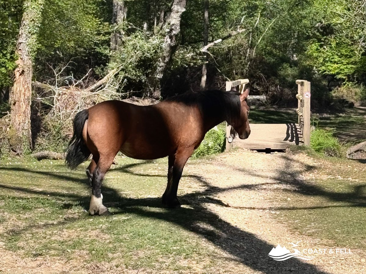
The route drops south from the car park, through the village and out onto the Rhinefield Road. Within ten minutes of leaving the car park the village falls away and the forest takes over. The transition is surprisingly abrupt. One moment you're on a road with houses, the next you're in one of the oldest managed woodlands in England.
Into the forest
The New Forest is not quite what the name suggests: it is not uniformly dense woodland. It is a mosaic of ancient woodland, open heathland, boggy valley mires and managed inclosures, all threaded through with streams, gravel tracks and the occasional tarmac road carrying cyclists and the New Forest Tour bus.
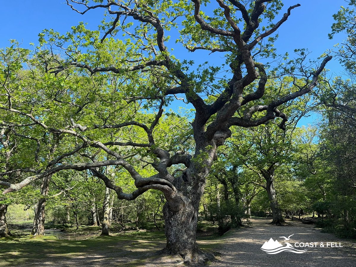
The paths from Brockenhurst south toward the Tall Trees section run through the inclosures: areas of managed woodland enclosed by fences to protect young trees from deer and ponies. The Douglas fir and Scots pine in these sections tower overhead and create the kind of light that only dense conifer woodland does, filtered and green-tinged, with shafts of sun breaking through in places.
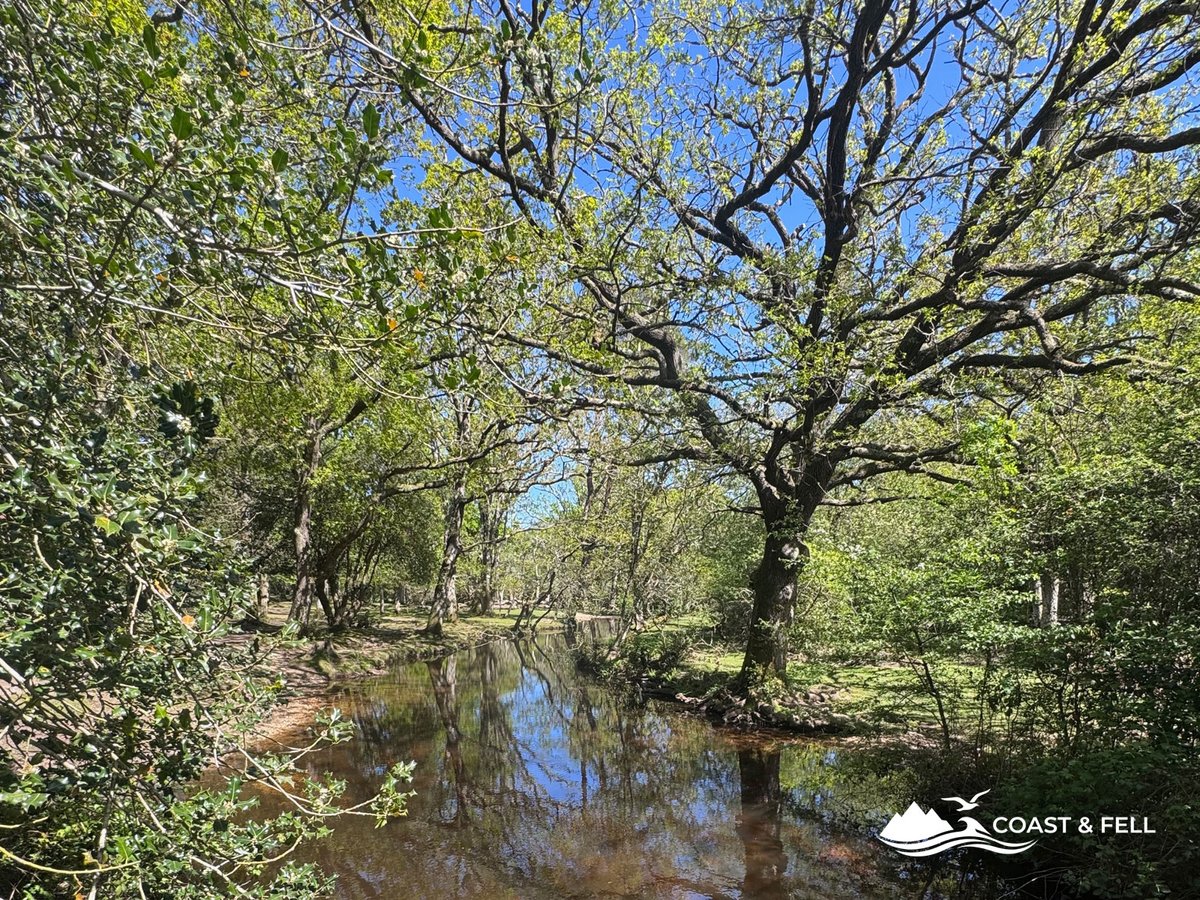
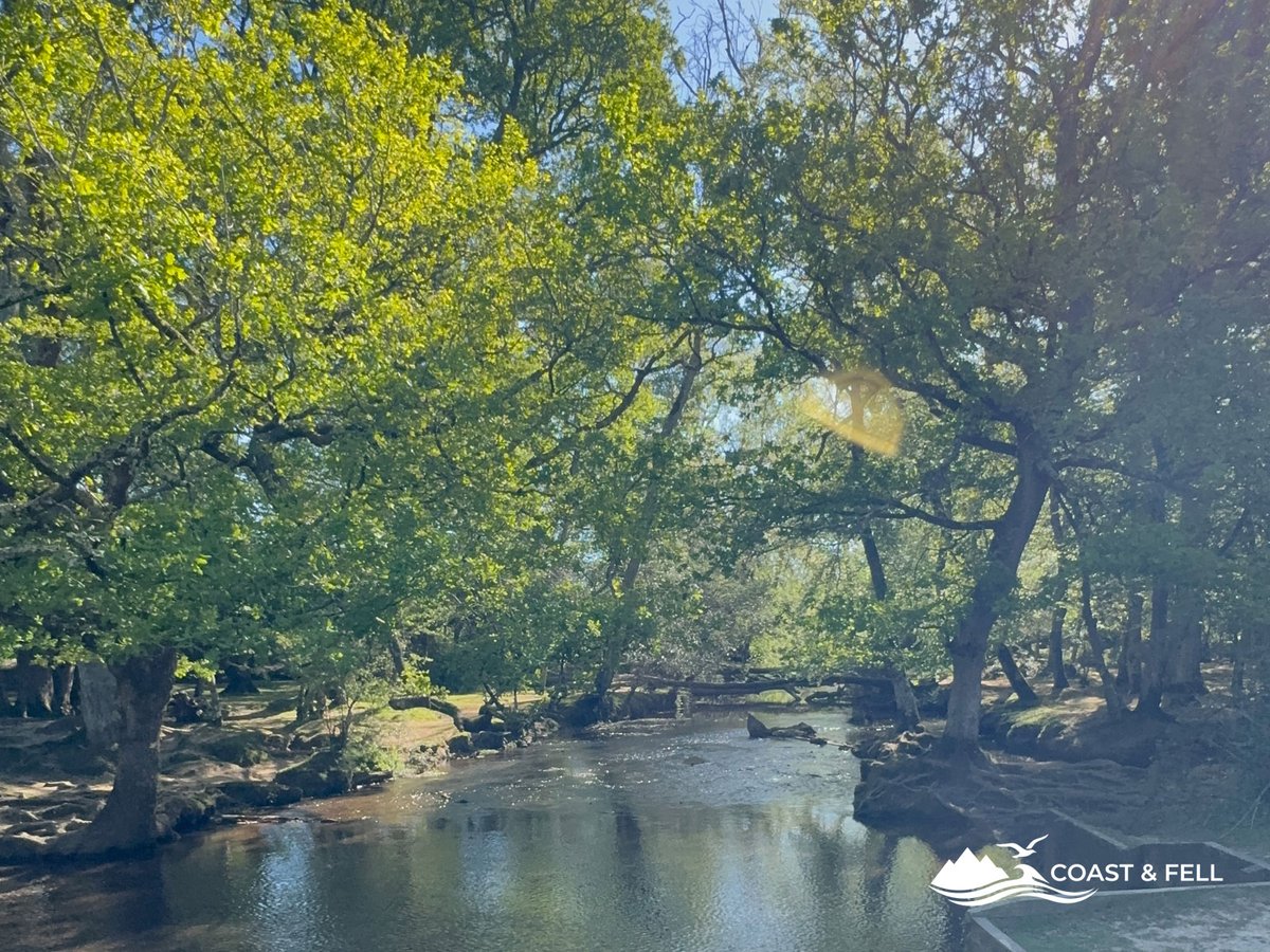
The Ober Water runs through this section: a shallow, clear stream that crosses and recrosses the path at various points. In spring it is at its best, fast-moving and cold, with watercress growing in the shallower reaches and the sound of it a constant backdrop to the walk.
The paths here are well-marked with numbered cycle route posts. Navigation is straightforward even without a GPS track; the markers are consistent and the routes well-maintained. That said, sections can be genuinely boggy after rain. The Salomon Speedcross 6 handled the wet sections without drama, but trail runners or road shoes would have been unpleasant in places.
The Tall Trees Trail
Nothing quite prepares you for the moment the giant sequoia come into view.
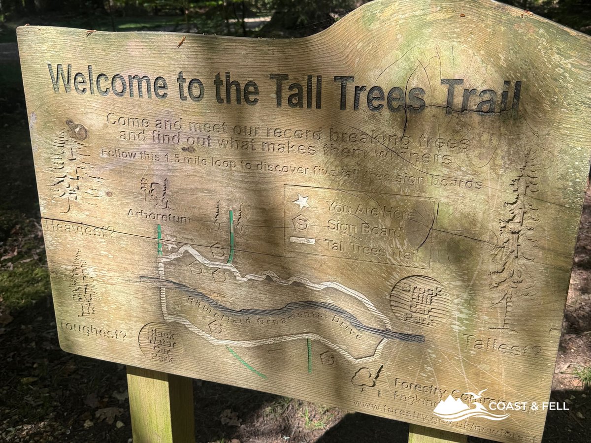
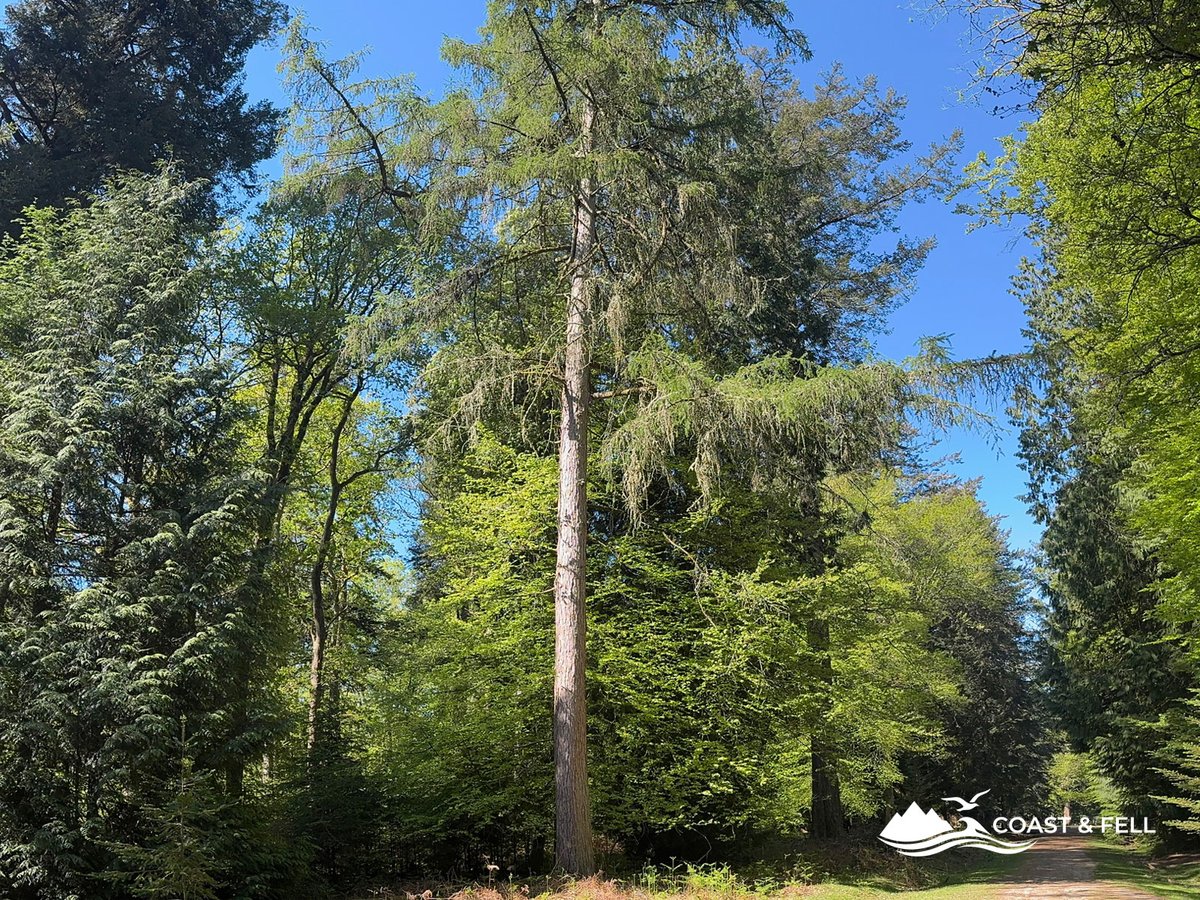
The Tall Trees Trail runs along the Rhinefield Ornamental Drive, a stretch of road planted in the 1850s with some of the most extraordinary trees in England. Douglas fir, coast redwood and giant sequoia, all planted during the reign of Queen Victoria, all now growing to heights that make the surrounding forest look modest.
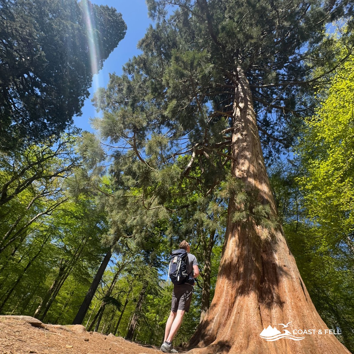
The Douglas fir here reach up to 50 metres. The giant sequoia (the same species that grows to the largest living things on earth in California) stand at over 40 metres with trunks you cannot get your arms around. They were planted as a curiosity, an ornamental feature for the nearby Rhinefield House. They have become something else entirely.
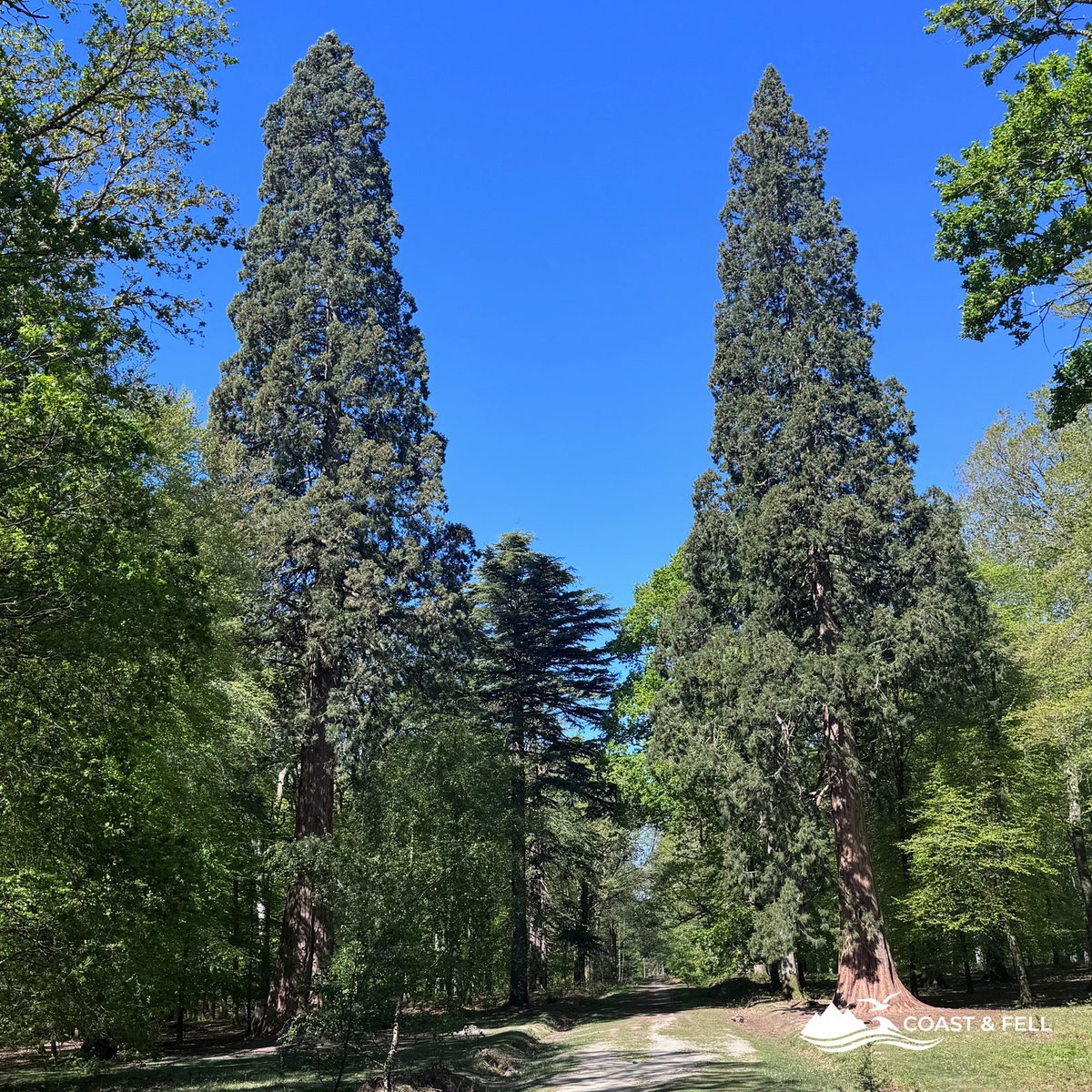
Walking beneath them produces a specific sensation that is hard to describe and easy to recognise: the same mild awe that large old things tend to generate in people. These trees were saplings when Queen Victoria was crowned. They were mature when the Second World War ended. They will be here long after everything currently standing in Bournemouth has been demolished and replaced twice over.
The trail itself is well-surfaced gravel, flat, and accessible to most people. It is popular, particularly at weekends and in the afternoons. On a midweek morning it was quiet enough that I had sections entirely to myself.
Wooden signs along the trail indicate the tallest and heaviest specimens. Stop at them. The numbers are genuinely staggering.
The Blackwater Arboretum
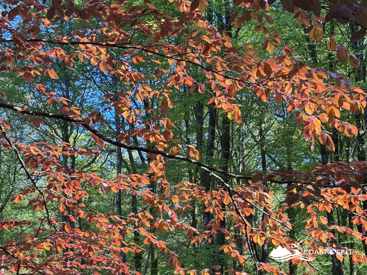
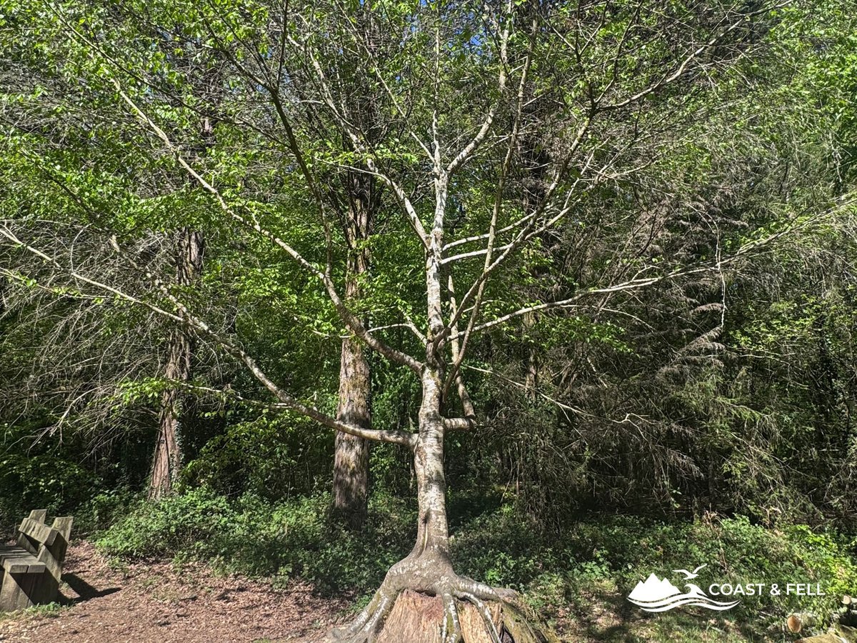
A short detour from the Tall Trees Trail brings you to the Blackwater Arboretum, a collection of trees from around the world, planted within a walled enclosure and free to visit. Where the Tall Trees Trail is about height and scale, the Arboretum is about variety: specimens from North America, Asia and Europe growing alongside each other in a way that would be impossible to find in any natural woodland.
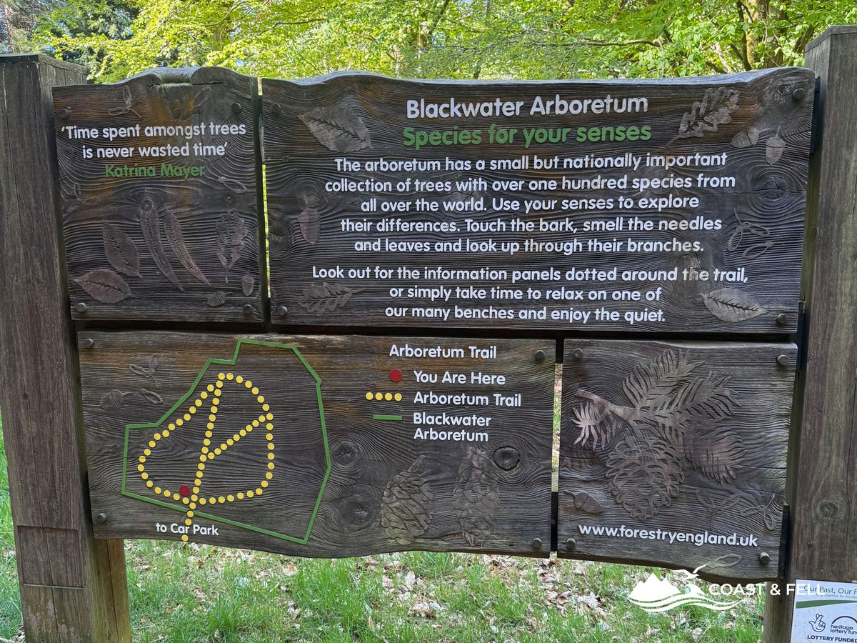
It adds perhaps half a kilometre and twenty minutes to the route. Worth every step. The contrast between the enormous sequoias outside and the curated collection within the arboretum walls is striking, and the arboretum itself has a peaceful, slightly otherworldly quality that rewards taking your time.
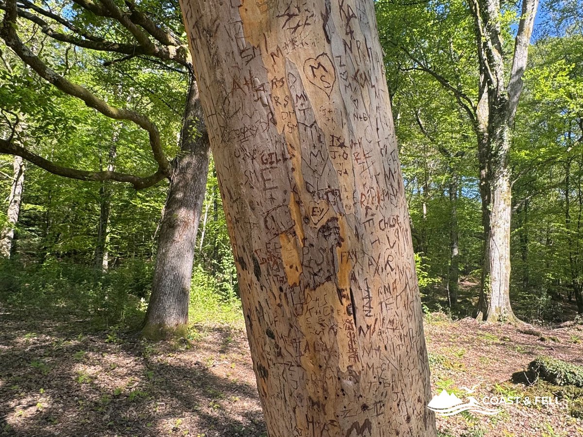
One detail worth noting if you visit: there is a large beech on the arboretum loop whose smooth grey bark has accumulated decades of carved initials: names, dates, hearts. It covers almost the entire accessible trunk. The tree appears healthy enough, though it's not something you'd want to encourage. It does, however, constitute an inadvertent record of everyone who passed through and felt the need to leave a mark. The forest will outlast all of them.
Coffee by the river: the Fire Maple moment
Somewhere on the return section, following the Ober Water back toward Brockenhurst, I found a spot I hadn't planned for.
A fallen log extended out over the river, wide enough to sit on comfortably, positioned low enough that you could look directly across the water. I sat down, took my boots off, put my feet in. The water was cold enough to be immediately restorative after hours of walking. Then I unpacked the Fire Maple.
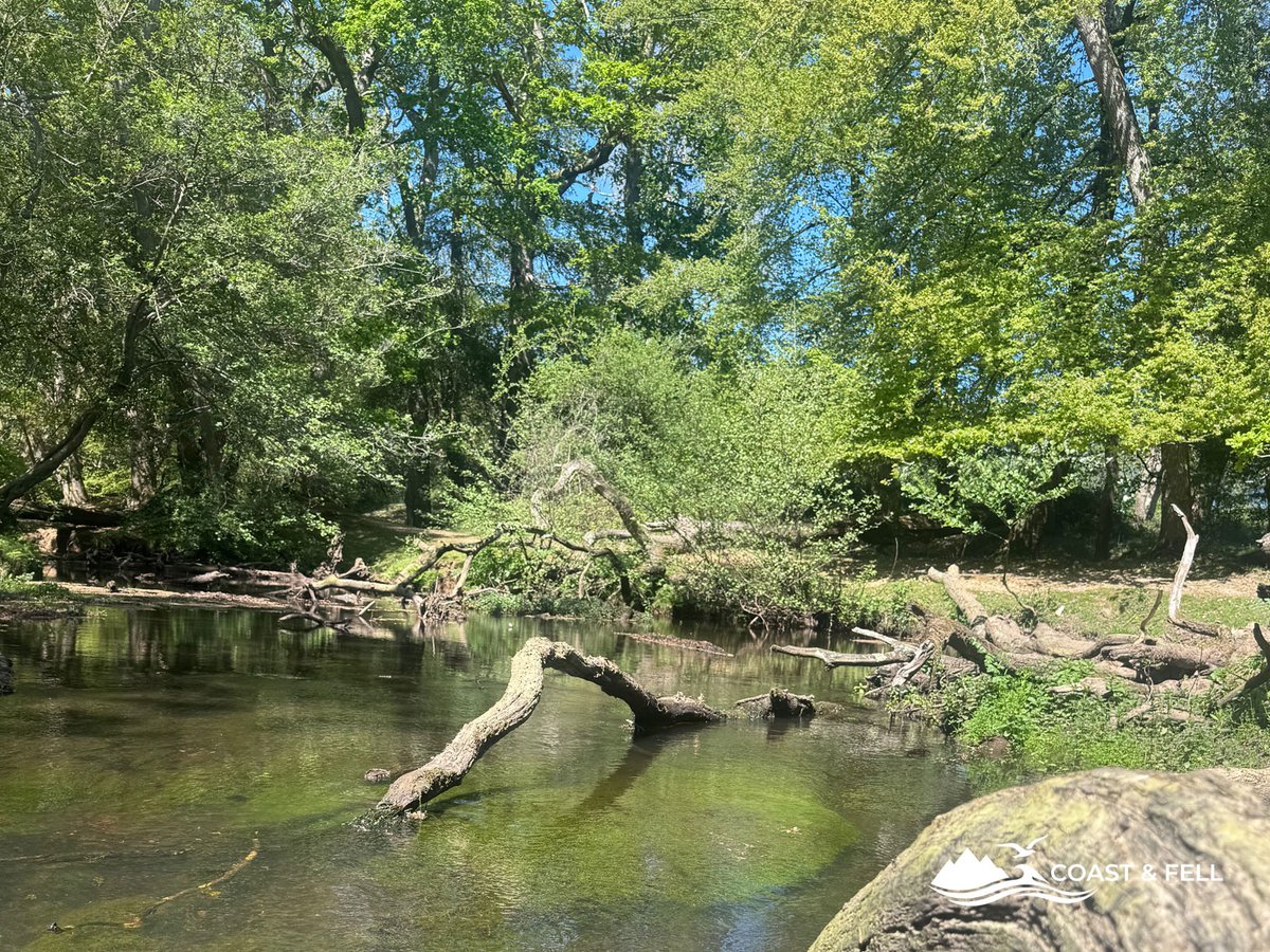
Two minutes to heat the water. A Costa Salted Caramel Latte sachet. Long-life milk from the side pocket of the Osprey. A quiet forest, a river, nobody else within earshot.
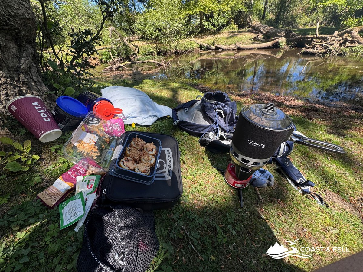
I have done this on the Jurassic Coast, on Pen-y-Fan, on various sections of the coast path. The forest version is different: more sheltered, more still, with birdsong rather than wind. Equally good. Possibly better on a warm spring day.
The Fire Maple stove is reviewed in full on the site — read the Fire Maple FMS-X3 review if you want the full picture. The short version: it is a Jetboil alternative that costs half the price and makes a perfectly good coffee at the edge of a New Forest stream.
The wildlife: ponies, deer and birds
The New Forest is managed around its wildlife in a way that few places in England are. The free-roaming ponies are the most visible element. You will see them in the village, on the heathland sections, drinking from the Ober Water, and occasionally blocking the path with the mild authority of animals who know the rules apply to everyone else.
I saw a small herd standing in the river on the outward leg. They did not move. I walked around them.
Roe deer are present throughout the woodland sections but shy. I spotted two in the inclosures, both gone before I'd properly registered them. The bird life is more varied than the forest's reputation might suggest. I managed a clear photograph of a pied wagtail on a mid-river stick, which required more patience than any other shot of the day.
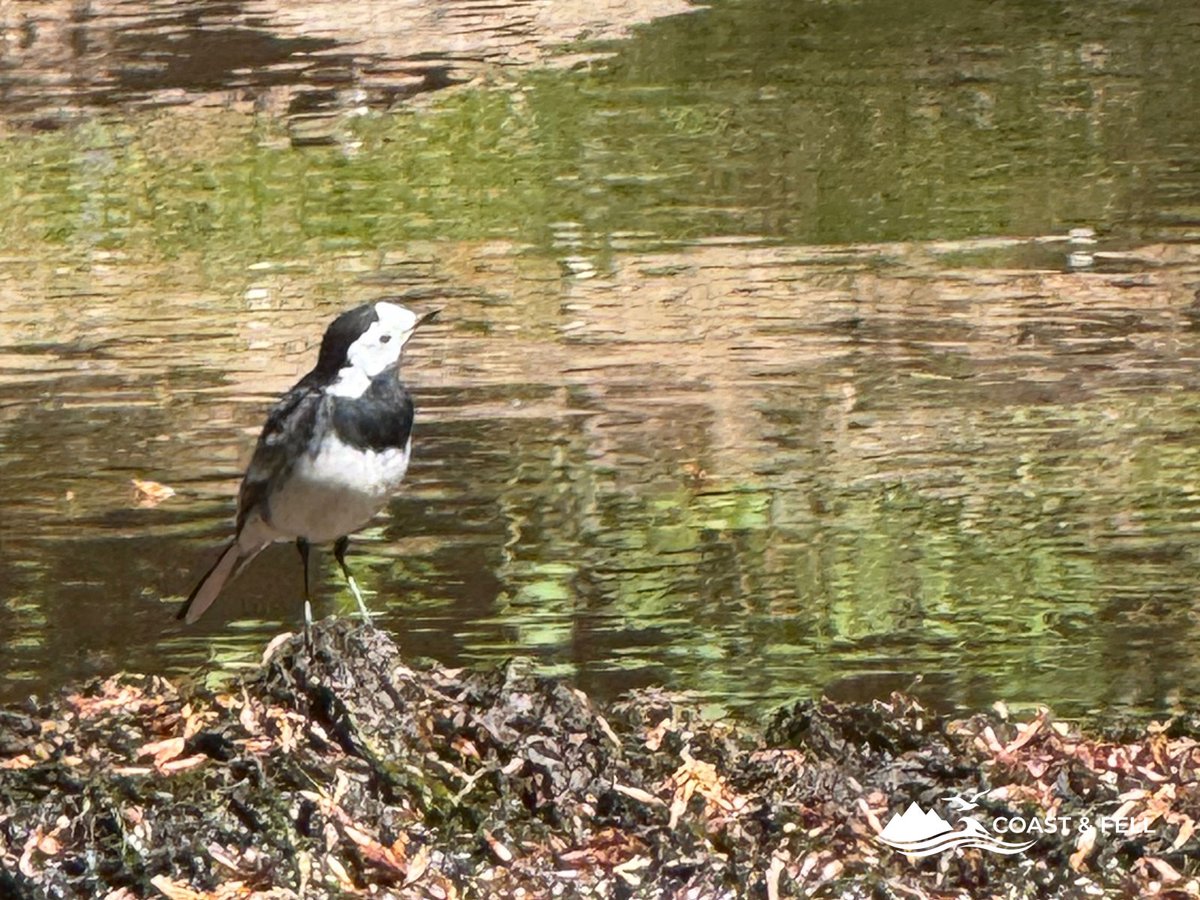
The New Forest is home to all six of the UK's native reptile species, though I saw none. Worth knowing if you're walking in summer when they're more active; keep an eye on sunny path edges.
Doing it twice: the training loop
I am training for the Jurassic Coast Ultra Challenge: 58km from Corfe Castle to Weymouth in May. That context is why 15km felt insufficient and I turned around at the end and did the whole thing again. If you want to see how the day itself went, the race report is here.
The second loop is a different experience from the first. The paths are familiar, the navigation automatic. What changes is everything else. The light shifts as the morning becomes afternoon, different sections of the Ober Water catch the sun differently, the Tall Trees look different approached from the other direction. The giant sequoia, specifically, are worth seeing twice.
My phone battery ran out somewhere in the second loop: a combination of AllTrails navigation, photography and video throughout the day. I have since bought the Anker MagGo 10,000mAh MagSafe-compatible power bank to prevent this happening again. Ultra-slim, USB-C, snaps magnetically to the back of an iPhone. Sits in the Osprey lid pocket without adding meaningful weight. It is one of the picks in my best hiking gadgets roundup.
Buy the Anker MagGo Power Bank on AmazonFor anyone else using their phone for navigation on a long day: this is not optional kit. A dead phone at mile 20 of an unfamiliar route is not a situation you want to be in.
The double loop took just under 8 hours including the arboretum detour, the coffee stop and various photography pauses. Total distance 32km, elevation gain around 500m across both loops. Legs were tired but not destroyed. A good training day.
What you need to know
Distance and elevation: ~15km, ~256m elevation gain for the standard route. ~32km and ~500m for a double loop.
Parking: Brookley Road Car Park, Brockenhurst, SO42 7RB. Approximately £7 for 8 hours. Tesco Extra directly opposite for supplies. Alternative free parking at Blackwater Car Park, SO42 7QB, directly at the Tall Trees Trail.
By train: Direct services from London Waterloo (~90 min), Bournemouth (~15 min) and Southampton (~20 min). Route starts from the station.
Facilities: Cafes and pubs in Brockenhurst village. Tesco Extra at the car park. No facilities on the route itself beyond the village, so carry enough water, particularly for the longer version.
Dogs: Allowed throughout. Keep on leads near livestock. The New Forest ponies and cattle have right of way and will not move for dogs. Follow the New Forest Dog Walking Code particularly during ground-nesting bird season, March to July.
Footwear: Waterproof boots strongly recommended. The forest paths can be boggy after rain and the river crossing sections can be wet. The Salomon Speedcross 6 performed well throughout — read the full review.
Navigation: The cycle route marker posts are clear and consistent. An AllTrails GPS track is strongly recommended for the longer version to avoid wrong turns in the inclosures.
What to bring: More water than you think. A portable charger if you're using your phone for navigation — the Anker MagGo 10,000mAh is what I use now after learning this lesson the hard way. The Fire Maple stove if you want to make a coffee by the river — full review here.
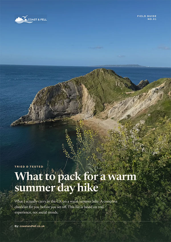
Free printable guide
What to pack for a warm summer day hike
My full warm-weather day-walk kit list as a printable PDF: what I carry, what I leave at home, and how to pack it. The honest article distilled onto a page you can take with you.
Further information: